14.5 km Walk
The departure is from the Bascule square in Chaneins.
Stage 1
Exit the parking lot and turn left onto Grande Rue. In front of the town hall, turn right onto Rue Cesseins. Then take the second street on the left, Place de l’Église, return to Rue des Verchères and continue to the intersection with Rue du Chabian. Follow this, which becomes Allée des Sports. At the intersection, turn left onto Chemin de Servinges. At the next intersection, follow this street to the right and continue straight. Cross the Route de Saint-Trivier (D66B) and continue on the dirt road.
Stage 2
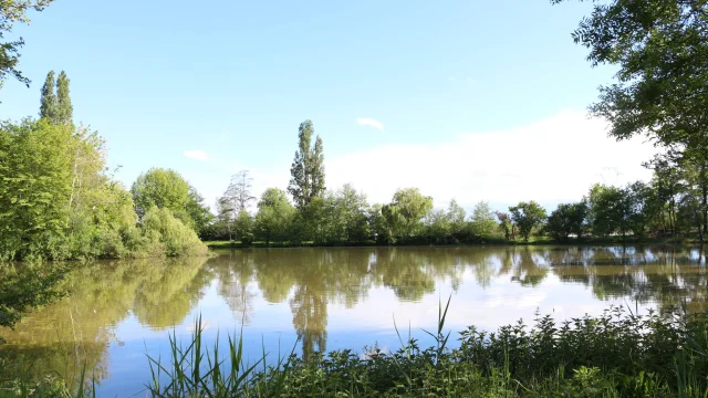
At the Champ Famin post, head towards Château de Chaillouvres, then at the next crossroads turn left, taking Chemin de l’Étang. Pass through the hamlet of Chaillouvres and follow the left dirt road along the pond with a view of the castle. Continue straight until you reach the main road.
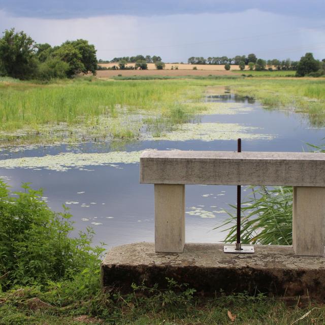 Thou de l'Etang Prêle
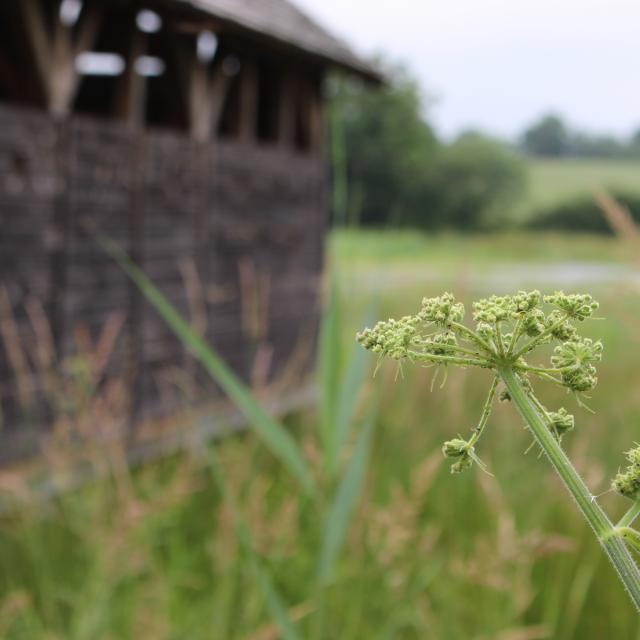 Flore et observatoire - Etang Prele
14.5 km Walk
The departure is from the Bascule square in Chaneins.
Stage 1
Exit the parking lot and turn left onto Grande Rue. In front of the town hall, turn right onto Rue Cesseins. Then take the second street on the left, Place de l’Église, return to Rue des Verchères and continue to the intersection with Rue du Chabian. Follow this, which becomes Allée des Sports. At the intersection, turn left onto Chemin de Servinges. At the next intersection, follow this street to the right and continue straight. Cross the Route de Saint-Trivier (D66B) and continue on the dirt road.
Stage 2
At the Champ Famin post, head towards Château de Chaillouvres, then at the next crossroads turn left, taking Chemin de l’Étang. Pass through the hamlet of Chaillouvres and follow the left dirt road along the pond with a view of the castle. Continue straight until you reach the main road.
