7.5 km walk
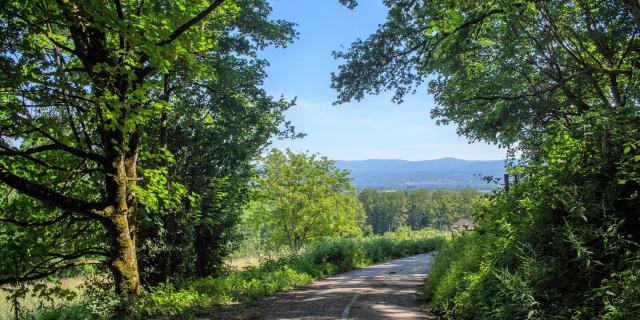
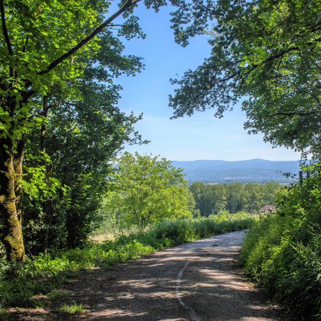
Hike mostly on paths and dirt roads.
Departure is from the Place du Bief parking lot in Châtillon-la-Palud.
Step 1
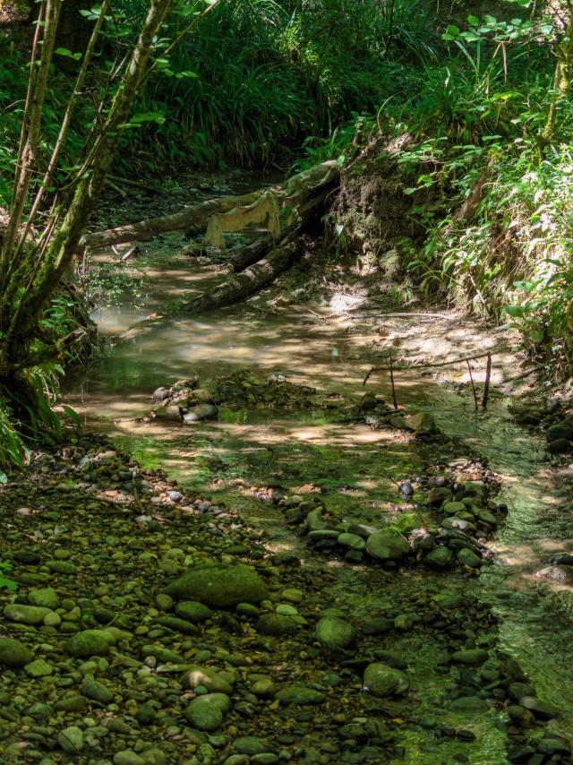
From the parking lot, turn right towards “Le Port”. Before the bridge, turn left onto Rue du Port. On the right, you can access the Ain River via a small dirt path (not marked and not secure).
Step 2
At the directional post, continue straight. The road turns into a dirt path. At the next intersection, turn left towards the village. At the end of the dirt path, turn right, then cross the road (D984) at the traffic light. Follow it right to the roundabout. At the roundabout, take the Rue du Pré Nouveau, then right onto Rue des Églantines.
Step 3
At the cross, turn right onto Rue des Verchères (shortcut possible). 20 m further, turn left onto the path “Sous le Caveau”. The road continues onto a path, circles around “Le Champ”, and brings you to Bublanne village opposite the church. Turn left onto D984, then take the climb of Mas Durand (D93A).
Step 4
At the cemetery, take the path that goes to the right. A fairly steep climb leads to the Dombes plateau. Once on the plateau, continue straight, then when the path splits in two, take the left.
Step 5
At the post Les Grands Champs continue towards Mas Durand. 200m further, at the second post Les Grands Champs, turn left towards Châtillon-la-Palud. At Mas Durand continue straight for 200m.
Step 6
At the pumping station, take the path to the right. Be careful: if the grass is tall, the path is not easily visible, so look for the yellow markings. Continue on a dirt path through the woods, cross “Le Copan”, and climb the slope.
Step 7
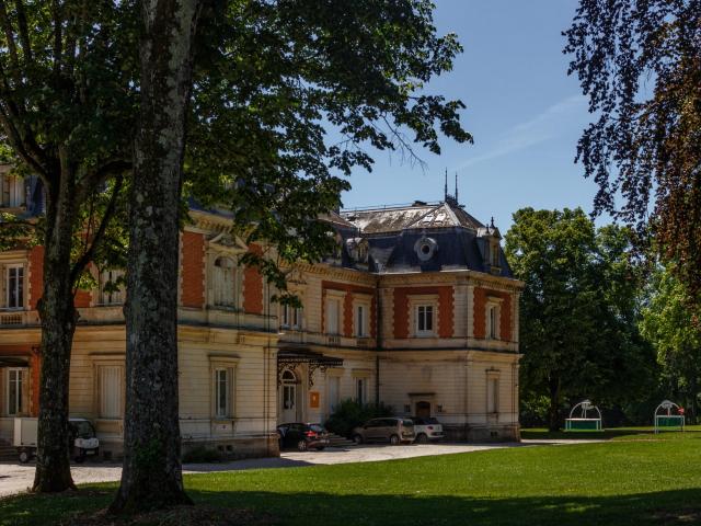
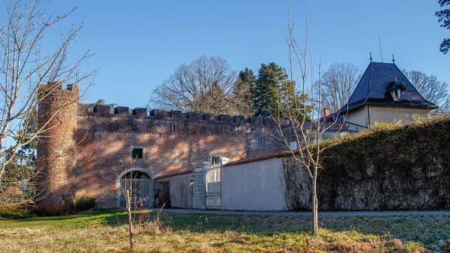
At the post Château de Grammont, take the road right and go around the Château. From here, there is a beautiful view of the ramparts. Continue towards the church, then turn left behind it.
Step 8
After the cemetery and in front of the Château de Châtillon, take the pedestrian path that descends, then continue on the Chemin de l’École which joins a road. A little further, turn right onto a path and continue to the intersection. Cross the road with a right/left maneuver and continue on the path back to the village. Cross at the light.
Step 9
At the post Châtillon-la-Palud Gévrieux, head towards “Le Port” to reach the parking lot.
