12.7 km Walk
The starting point is in front of the church of Villette-sur-Ain.
Parking spaces are also available next to the town hall.
Step 1
Take the route des Dombes until the intersection, then turn left onto Montée de la Vieille Côte.
At the “Sur Côte” signpost, turn left towards “Le Gaillot”, then continue left onto rue Chez les Mathieu.
Near the farm, turn right, then turn right again to cross the Gaillot. At the intersection after the hamlet, continue straight and at the next intersection, take the dirt path on the left.
Step 2
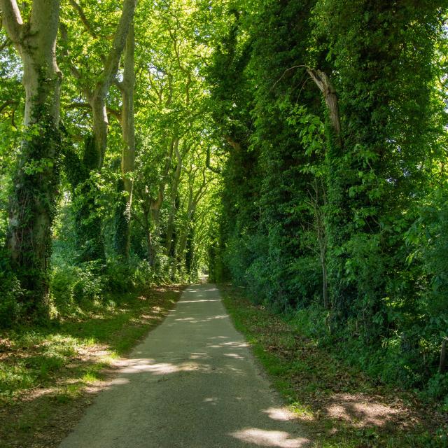
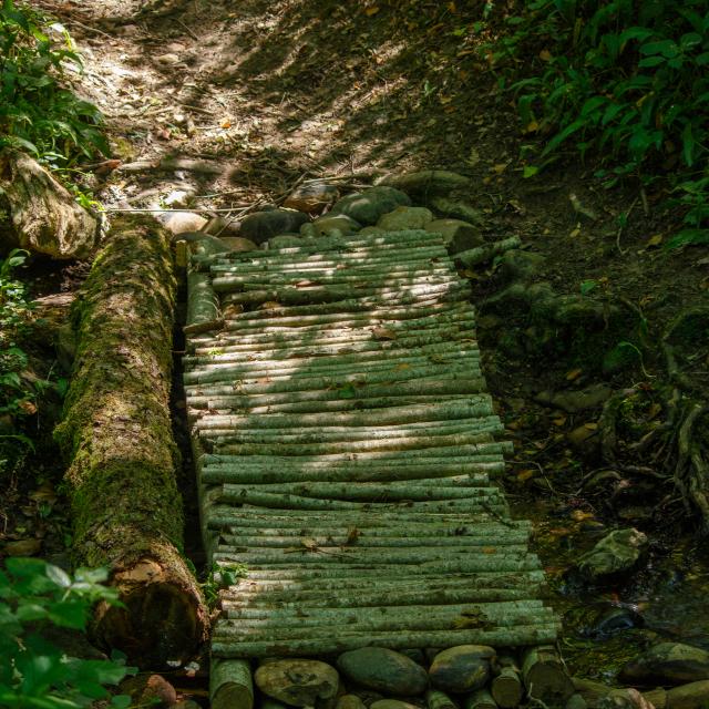
At the “Terres Froides” signpost, continue straight towards Moulin de Fau. The dirt path turns into a trail which, in case of heavy rain, can be very muddy. First pass by the Moulin de Fau, then the trail follows a stream that must be crossed.
After exiting the undergrowth, turn right and pass between two fields where the trail and markings can be hard to see. Upon reaching another dirt path, turn left.
Step 3
At the intersection in the hamlet of Lent, turn right and follow the path. Cross the departmental road (D93) and continue straight to the fish ponds. Take the path on the right that passes through a wood and crosses a stream. Follow this path to the Domaine de la Moutonnière.
Step 4
At the La Moutonnière signpost, continue straight towards Bois Manon. Continue straight until reaching a pond on the left, then proceed along the trail in the wood straight ahead. Upon exiting the wood, turn right, then at the La Palud signpost, turn right until reaching the Les Barrières signpost.
Step 5
Then turn left onto route des Barrières and continue along this road until passing by the Ferme de la Tour on the right, then the château of the same name on the left. Arrive at the D93, at the Priay signpost and turn right for about 300 meters.
At the Pré Millet signpost, take the dirt path on the left. Follow this path then the trail until reaching a road.
Step 6
At the Le Grand Pont signpost, turn right towards Villette-sur-Ain. Follow this path then in the hamlet of Chez Marion-Les Corrières take the climb on the left. Descend to the village on the left, route des Dombes.
Caution: crossing a stream and a short section on the departmental road (300m).

